| Home |
| Railroad Art Print Catalog |
| Art Framing Options |
| Railroad Maps |
| Railroad Pins |
| How to Order |
| About the Artist |
| Our Retail Location |
| Return Policy |
| Links |
RAILROAD ART BY S COTTY
System Maps Available For Use In Framing With Scotty's Prints
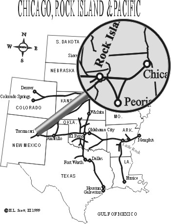
Our system maps are computer generated by the artist specifically to go with his drawings. Each map has been compiled based upon historic information and is intended to "tell a story" when framed with one or more prints from your favorite railroad. Many of our customers truly create family histories by combining maps with prints of equipment like those that grandpa drove.
System maps currently available are:
- Alaska Railroad
- Baltimore and Ohio
- Burlington Northern
- Burlington Northern Santa Fe
- Burlington Route - Chicago Burlington and Quincy
- Chesapeake and Ohio
- Canadian National
- Canadian Pacific
- CSX
- Chicago Great Western
- Chicago and North Western
- Colorado and Southern
- Conrail
- Cumbres and Toltec
- Duluth Missabe and Iron Range
- Durango and Silverton
- East Broad Top
- Frisco
- Great Northern
- Illinois Central
- Milwaukee Road
- Missouri Pacific
- Missouri, Kansas, Texas
- Montana Rail Link
- New York Central
- Northern Pacific
- Pennsylvania
- Rio Grande Southern
- Rio Grande - Denver and Rio Grande Western
- Rock Island
- Santa Fe
- Soo Line
- Southern Railway
- Southern Pacific
- Spokane, Portland and Seattle
- Union Pacific
- Virginia and Truckee
- Western Maryland
- Western Pacific
- White Pass and Yukon

Please don't hesitate to call for assistance in creating
custom combinations at 970-387-5580
ABOUT OUR STORE
|| ABOUT THE ARTIST
CATALOGUE || ORDERING INFORMATION